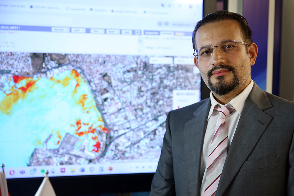
MCBU Lect. Assoc. Prof. Dr. Osman Salih Yılmaz is in the Scientific Committee of Izmir Bay Pollution Detection
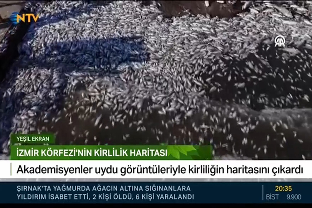
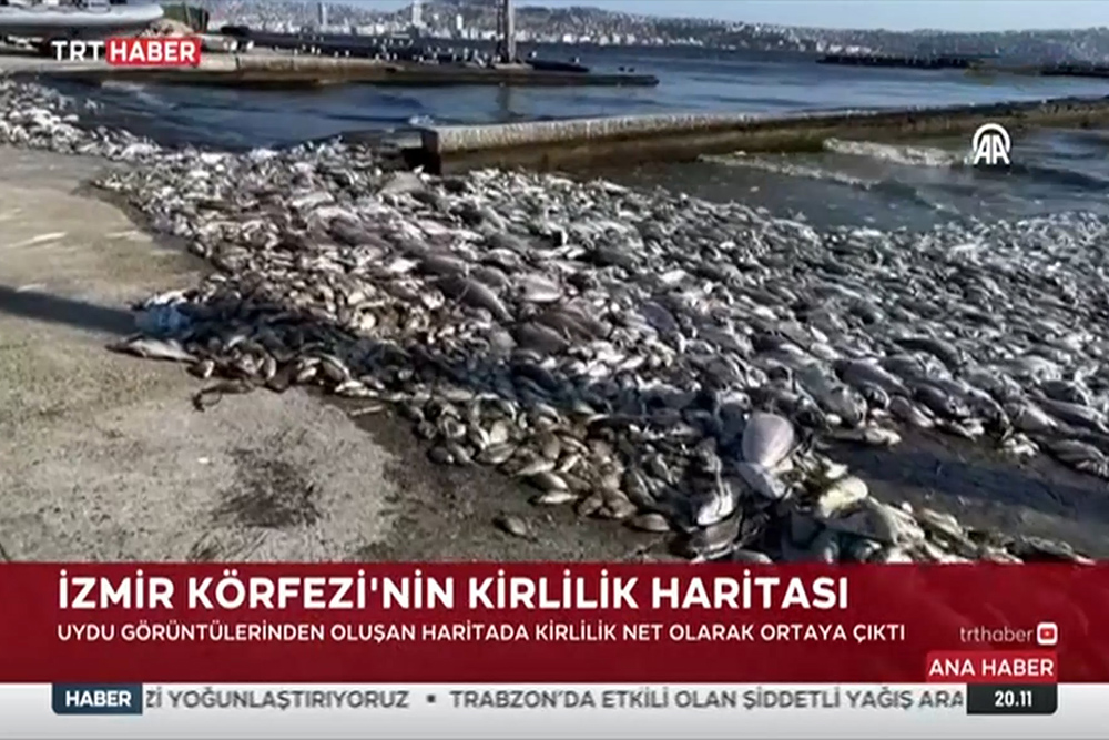
After the dead fish washed up on the Bayraklı and Karşıyaka Beaches of Izmir Port and the bad odor problem emerged, studies were initiated to identify and prevent the source of pollution.
While the Scientific Committee established by the Ministry of Environment, Urbanization and Climate Change continues to prepare an emergency action plan, scientists from different universities and disciplines have developed projects to identify and solve the problem.
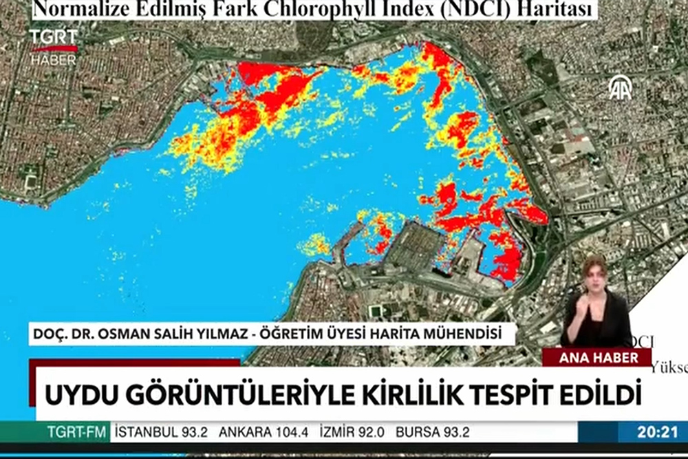
Manisa Celal Bayar University Demirci Vocational School Department of Geographic Information Systems Lecturer. Member Map Engineer Lecturer. Prof. Dr. Osman Salih Yılmaz conducted a study to map and track the pollution in Izmir Bay using satellite images.
Assoc. Prof. Dr. Yılmaz said that the study is a scanning model like X-ray and MRI used in health, and that the change in water quality can be followed quickly by processing satellite images.
Yılmaz stated that the instantaneous changes in the water are related to the time the satellite passes over a region and said, “The time for satellites to revisit a region is 5 days. In other words, the gulf can be tracked using the same technique within 5-7 days on average, depending on whether the weather is cloudy or not. We do the coloring by writing codes. According to the pixel values in the NDCI index we calculate, the NDCI index takes a value between -1 and +1. Generally, values above 0.2 indicate that chlorophyll A is concentrated. In other words, we colored below 0.2 in blue, between 0.2 and 0.3 in yellow orange and above 0.4 in shades of red.”
Stating that according to the processed satellite images, pollution in Izmir Bay was below the limit level from 2017 to mid-2024, but a very rapid increase was observed in almost all regions in the last three months, Yılmaz said that with the rise in temperatures, they detected significant increases in chlorophyll A levels caused by algae bloom on the coasts of Bayraklı, Karşıyaka, Konak Pier and Alsancak Port.
Stating that this system can also be used in the follow-up of the studies to be carried out in the Gulf, Assoc. Prof. Dr. Yılmaz said that the code they wrote can also be used in the follow-up of pollution on the lake or sea surface anywhere in the world.
Pointing out that their work should be integrated into the early warning systems designed for Izmir Bay, Yılmaz said, “We have taken the MRI of this work. After the exact cause of the pollution is revealed and the treatment is applied, we will be able to follow whether the treatment works or not by taking an MRI again.”


